Camping ideas · Northern Ghana

Wild Places to Camp Across the North.

Savannah parks, river sanctuaries, escarpments and granite hills across Ghana's five northern regions, researched as ideas for future adventures.

Start in the savannah

Three Northern Regions, Now Five.

Ghana's north was long known as three regions: Northern, Upper East and Upper West. Since 2018-2019 the old Northern Region has been split into Northern, Savannah and North East. We cover all five, with Tamale at the heart of it.

Ideas, not confirmed trips

These places come from public sources and are not yet Savannah Campers trips. Camping rules, access and permissions vary, so we confirm every site with the right authority or community before we take anyone there.

Explore the map

Eleven Ideas, Five Regions.

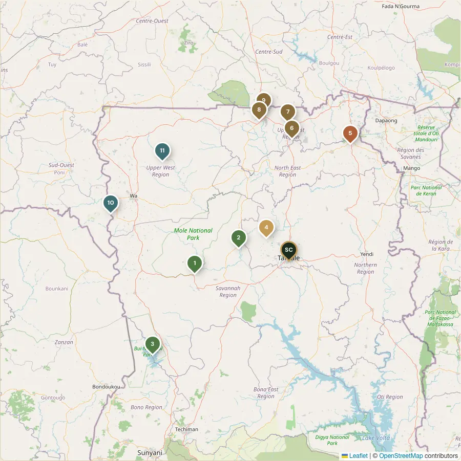
Tap a pin or a card to explore. Filter by region to plan a route from Tamale.

Map of Northern Ghana with numbered pins for each camping idea and Tamale marked as our base

Pins are approximate. Map data © OpenStreetMap contributors.

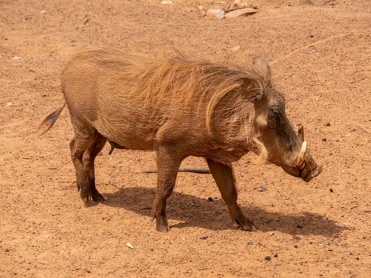
Warthog in Mole National Park
Warthog in Mole National Park · Photo: Matti Blume, CC BY-SA 4.0, via Wikimedia Commons
Savannah Region

Mole National Park

Near Larabanga, West Gonja

Ghana's best-known savannah park, famous for its elephants and wide open woodland. Sunrise game walks and big-sky evenings make it the classic northern adventure.

  • Elephants (estimates range from about 600 to 1,000)
  • Guided walking and drive safaris
  • Larabanga's historic mud mosque nearby
Campsite reportedA travel blog reports a campsite near the ranger station by Mole Motel, with your own gear. Confirm with the park before planning.

Reached via Larabanga; roughly 2 to 3 hours' drive from Tamale.

Google Maps

Sources: GhanaWeb · Chris Toone
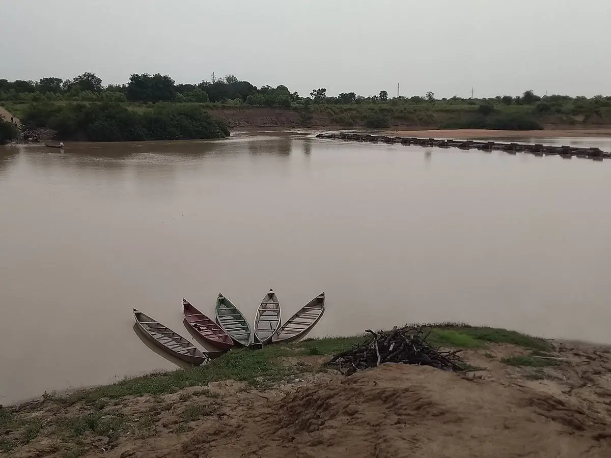
The White Volta at Daboya
The White Volta at Daboya · Photo: Hasslaebetch, CC BY-SA 4.0, via Wikimedia Commons
Savannah Region

Daboya Hippo Sanctuary

Daboya, North Gonja, on the White Volta

A community-managed stretch of the White Volta with hippos and riverside birdlife, in a town known for its history of salt trading and smock weaving.

  • Hippo watching on the White Volta
  • Birdwatching along the river
  • Historic Daboya town
Camping to be confirmedNo camping information found. Ask the community sanctuary about riverside camping.

Roughly 1.5 to 2 hours' drive from Tamale.

Google Maps

Sources: Grassroot Tours · The Savanna Online

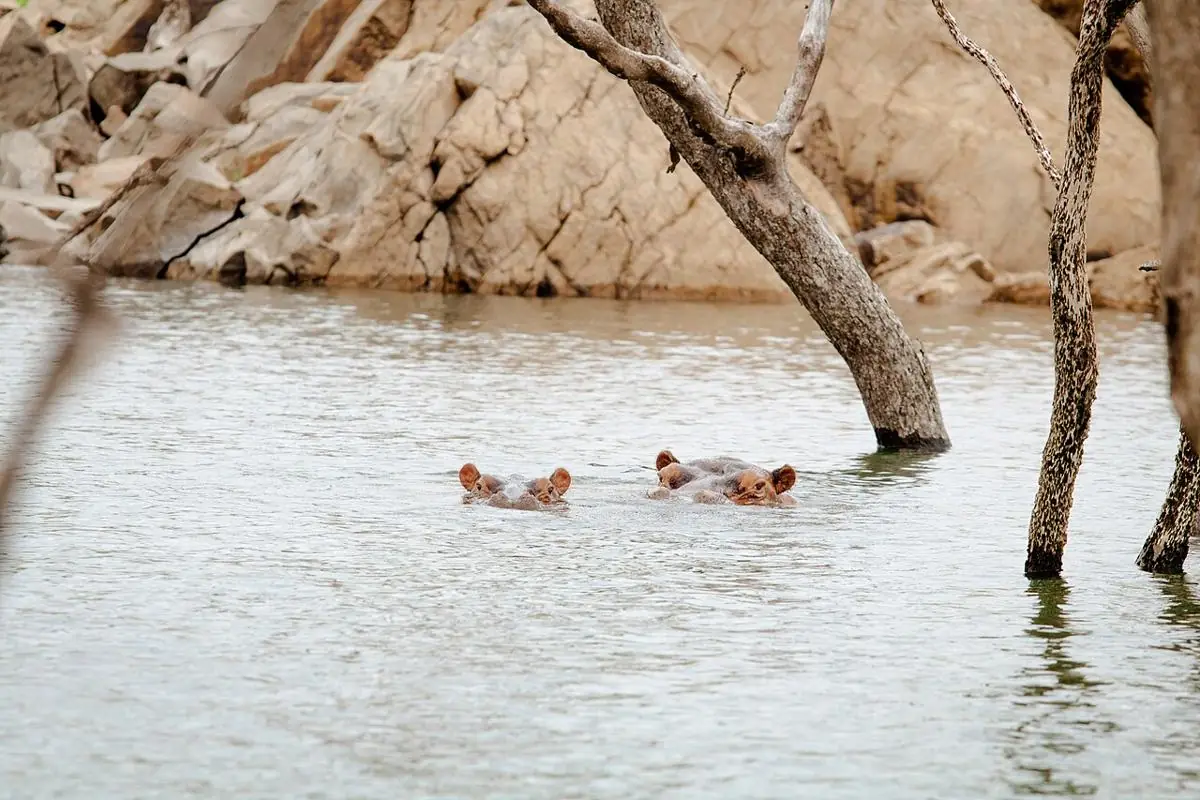
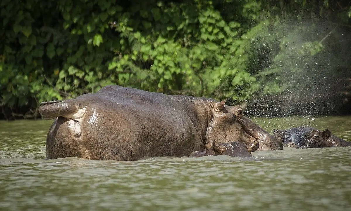
Hippos in Bui Lake, Bui National Park
Hippos in Bui Lake, Bui National Park · Photo: Knowledge and philosophy, CC BY-SA 4.0, via Wikimedia Commons
Savannah Region

Bui National Park

Black Volta, western Savannah Region

Hills, forest edges and the Black Volta, with one of Ghana's largest hippo populations. Remote and wild: a real expedition from Tamale.

  • Hippos and crocodiles by boat
  • Over 300 bird species reported
  • Best in the dry season, November to March
Camping to be confirmedPermits are required at the park headquarters. Ask there about camping.

Far west of Tamale; better as a 2 to 3 day trip.

Google Maps

Sources: Ghana News Agency

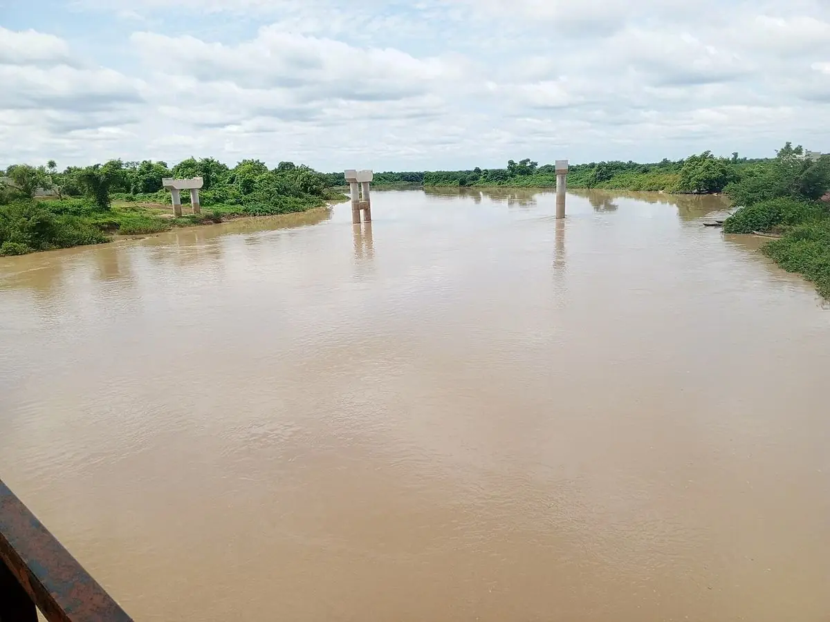
The White Volta at Nawuni
The White Volta at Nawuni · Photo: Nimatu15, CC BY-SA 4.0, via Wikimedia Commons
Northern Region

Nawuni & the White Volta

Kumbungu District

The closest big river escape from Tamale. Nawuni sits on the White Volta and is known for its shrine and sacred crocodile.

  • Riverside views on the White Volta
  • Nawuni shrine and sacred crocodile
  • Easy half-day or overnight from Tamale
Camping to be confirmedThe shrine is a sacred site, so any camping must respect local custom and be agreed with the community.

About 40 km north-west of Tamale.

Google Maps

Sources: Wikipedia: Nawuni · Ghana Districts

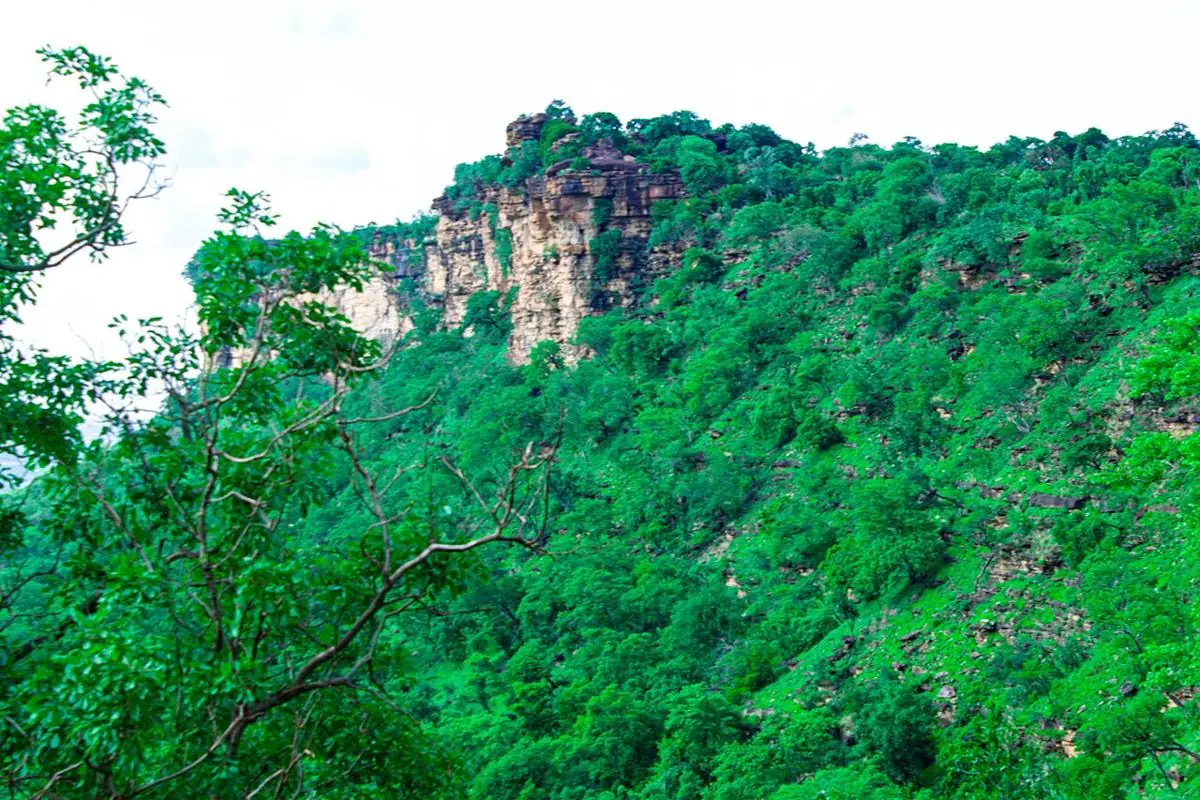
The Gambaga Escarpment
The Gambaga Escarpment · Photo: Christian Yakubu, CC BY 4.0, via Wikimedia Commons
North East Region

Nakpanduri & the Gambaga Escarpment

Bunkpurugu-Nakpanduri District

Cliff-top views over the plains from the escarpment that runs across the north-east. Possibly the most dramatic sunset spot in the north.

  • Escarpment viewpoints and rock overhangs
  • Hiking from Nakpanduri
  • Tusugu cliff dwellings about 45 minutes away
Camping to be confirmedAsk the local assembly or chief about sites on the plateau before setting up.

Nakpanduri is the usual starting point for views and hikes.

Google Maps

Sources: North East Ghana · Modern Ghana

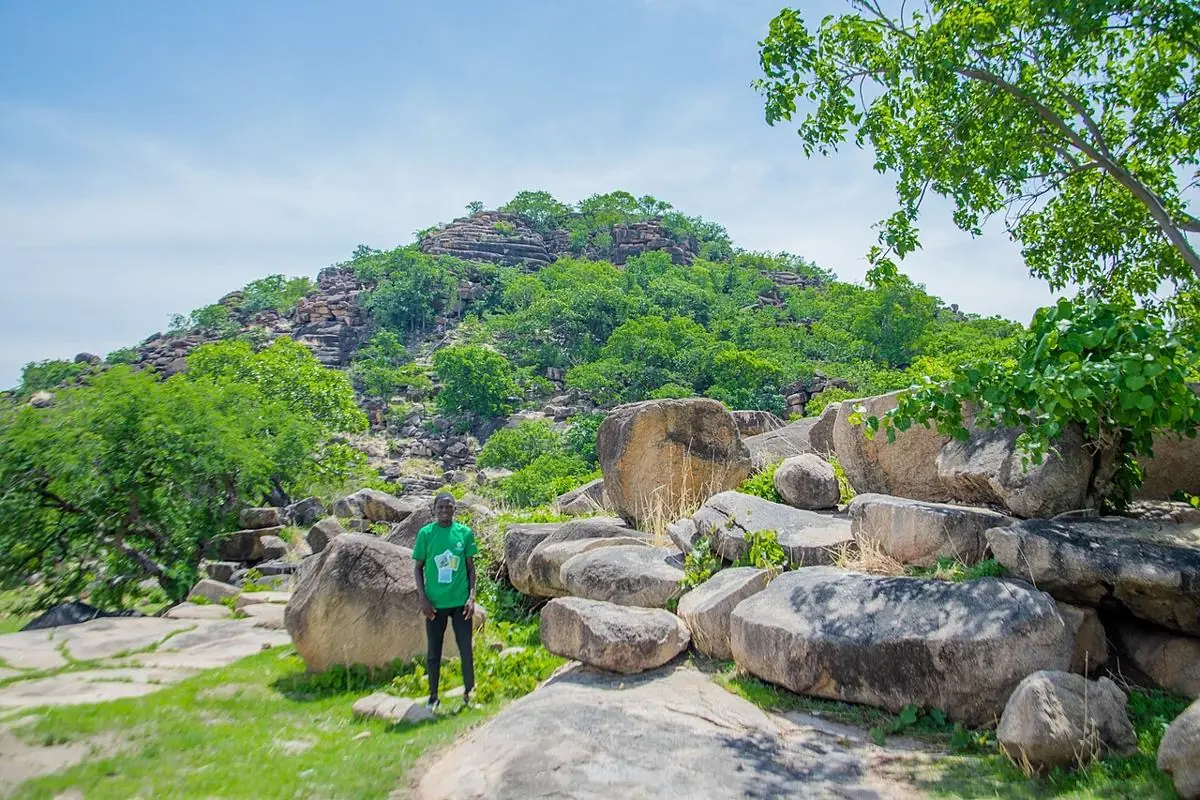
Granite boulders of the Tongo Hills
Granite boulders of the Tongo Hills · Photo: Knowledge and philosophy, CC BY-SA 4.0, via Wikimedia Commons
Upper East Region

Tongo Hills & Tengzug

Talensi District, near Bolgatanga

Granite boulders, balancing rocks and wide panoramas around a living sacred landscape. Rugged hiking with deep cultural meaning.

  • Hikes among granite rock formations
  • Guided visit to the Tengzug shrine
  • Proposed for UNESCO World Heritage listing
Camping to be confirmedThe shrine is sacred and in active use. A local guide is essential, and visits may be restricted around festivals.

South of Tongo; arrange transport for the return trip.

Google Maps

Sources: Wikipedia: Tongo Hills · Daily Graphic

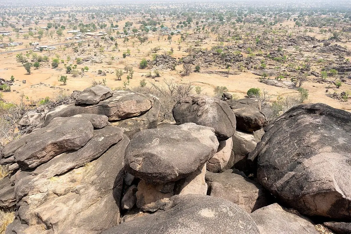
Bongo Rocks, near Vea Dam
Bongo Rocks, near Vea Dam · Photo: Danieljatuat, CC BY-SA 4.0, via Wikimedia Commons
Upper East Region

Vea Dam & Bongo Rocks

Bongo District

A big reservoir that's already a favourite local picnic and leisure spot, close to the climbable Bongo rocks and their views over the district.

  • Lakeside picnics and sunsets
  • Climb Bongo Rocks for the view
  • Fullest after the rainy season
Camping to be confirmedNo visitor facilities are developed yet. Check access with the community before camping.

Near Bolgatanga, in Bongo District.

Google Maps

Sources: Wikipedia: Bongo District · Graphic Online

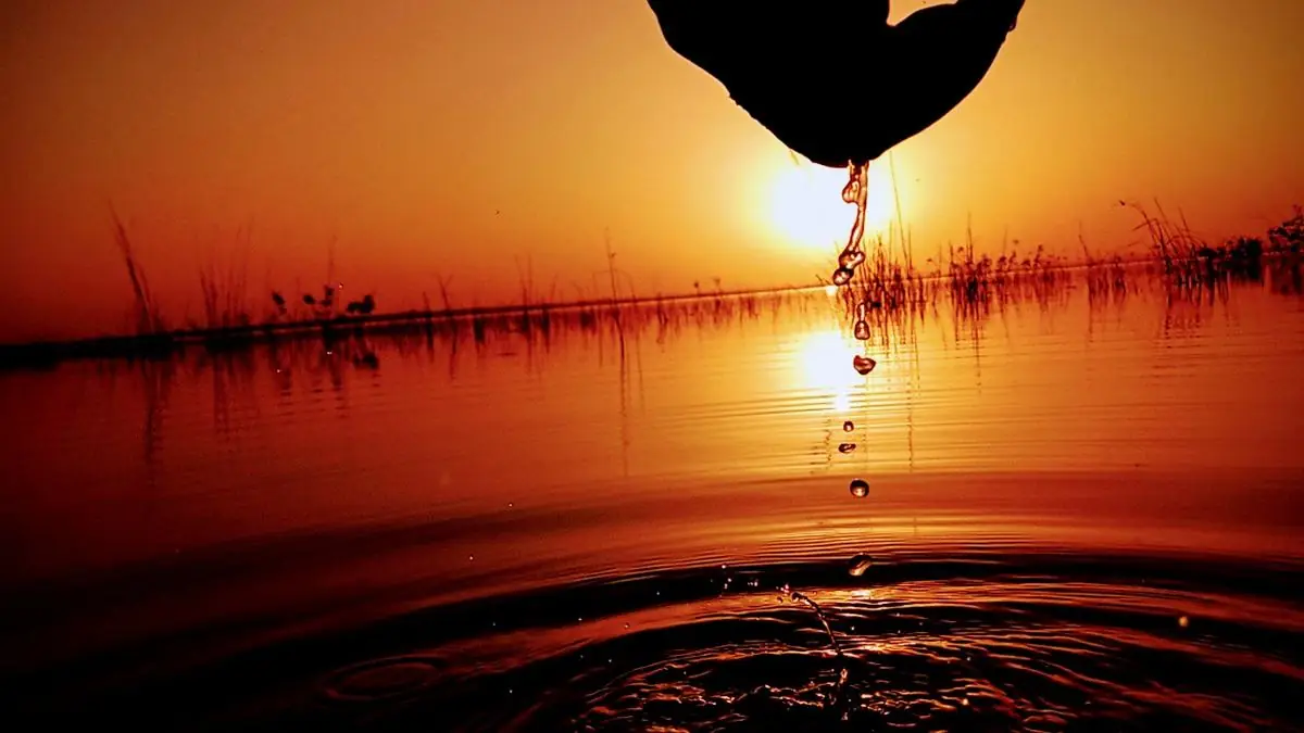
Sunset at Tono Dam
Sunset at Tono Dam · Photo: Inspire Legacy, CC BY-SA 4.0, via Wikimedia Commons
Upper East Region

Tono Dam

Near Navrongo, Kassena-Nankana

One of West Africa's largest irrigation dams, with a lake that draws many savannah bird species. Quiet, open and good for early mornings.

  • Birdwatching around the lake
  • Wide open savannah scenery
  • Easy to combine with Paga and Navrongo
Camping to be confirmedIt's a working irrigation and water-supply site, so check where visitors may go.

About 35 km west of Bolgatanga, via Navrongo.

Google Maps

Sources: BirdForum · Wikipedia: Tono Dam

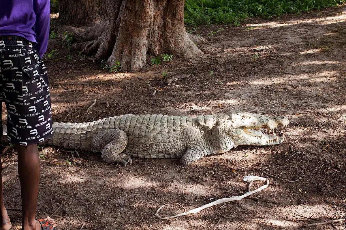
Crocodile at the Paga crocodile pond
Crocodile at the Paga crocodile pond · Photo: Knowledge and philosophy, CC BY-SA 4.0, via Wikimedia Commons
Upper East Region

Paga, Pikworo & Sirigu

Kassena-Nankana West & Kassena-Nankana

A powerful heritage day out: the sacred crocodile ponds of Paga, the Pikworo slave camp's rock-carved history, and Sirigu's painted homes and pottery.

  • Paga crocodile ponds (best early morning)
  • Pikworo Slave Camp, about 3 km west of Paga
  • Sirigu painted village and women's pottery
Day tripBest as a day stop on a longer Upper East trip, with lodging in Navrongo or Bolgatanga.

Near the Burkina Faso border, reached from Bolgatanga.

Google Maps

Sources: Wikipedia: Paga Crocodile Pond · Ghana News Agency

Hippo at the Wechiau Hippo Sanctuary
Hippo at the Wechiau Hippo Sanctuary · Photo: Kradolferp, CC BY-SA 4.0, via Wikimedia Commons
Upper West Region

Wechiau Hippo Sanctuary

Wa West, on the Black Volta

A community-run conservation success on the Black Volta, where canoe trips take you close to hippos. Simple lodges, starry skies and village life.

  • Canoe trips to see hippos
  • Community-led conservation
  • Best viewing November to April
Lodge nearbyThe sanctuary offers lodging at the Mark Donohue Lodge, about 1 km from the river. Ask the sanctuary about camping.

Remote; private transport recommended from Wa.

Google Maps

Sources: Wikipedia: Wechiau Sanctuary · Sanctuary lodging

Gbele Resource Reserve
Gbele Resource Reserve · Photo: Oheneba ghana, CC BY-SA 4.0, via Wikimedia Commons
Upper West Region

Gbele Resource Reserve

North-east of Wa, Sissala area

565 km² of guinea savannah, known for roan antelope herds and rich birdlife, on the elephant corridor between Burkina Faso and Mole.

  • Roan antelope and other savannah wildlife
  • Important Bird Area
  • Part of a western wildlife corridor
Camping to be confirmedManaged by the Forestry Commission's Wildlife Division. Ask them about permits and camping.

North-east of Wa, towards Tumu.

Google Maps

Sources: Wikipedia: Gbele · BirdLife IBA

Seen Somewhere You'd Love to Camp?

Tell us which place caught your eye and we'll look at what's possible for you or your group.

Chat with us